GNSS 측위
gnssconstellation 함수와 receiverposition 함수를 사용하여 GNSS 데이터에서 위치를 계산합니다.
rinexread, semread와 같은 GNSS 파일 리더 함수를 사용하여 RINEX, SEM, YUMA, Galileo almanac 파일에서 위성 항법과 관측값 데이터를 읽습니다.
함수
객체
gnssSensor | Simulate GNSS to generate position and velocity readings |
gnssMeasurementGenerator | Simulate GNSS measurements for scenarios (R2023a 이후) |
gpsSensor | GPS receiver simulation model |
gpsdev | Connect to a GPS receiver connected to host computer |
nmeaParser | Parse data from standard and manufacturer-specific NMEA sentences sent from marine electronic devices |
블록
| GPS | 잡음이 있는 GPS 센서 측정값의 시뮬레이션 (R2021b 이후) |
도움말 항목
- GNSS 시뮬레이션 개요
GNSS(범지구 위성 항법 시스템) 시뮬레이션은 수신기 위치 추정값을 생성합니다.
- Analyze GNSS Satellite Visibility
This example shows how to simulate and analyze GNSS satellite visibility at specified receiver positions and times using a GNSS/GPS ephemeris or almanac file.
- Simulate GPS Sensor Noise
This example shows how to use the GPS block to add GPS sensor noise to position and velocity inputs in Simulink®.
- Estimate GNSS Receiver Position with Simulated Satellite Constellations
Track the position of a ground vehicle using a simulated Global Navigation Satellite System (GNSS) receiver.
- Plot Position of GNSS Receiver Using Live NMEA Data or NMEA Log File
This example shows how to parse information from NMEA sentences and use the obtained information to plot the location.
추천 예제
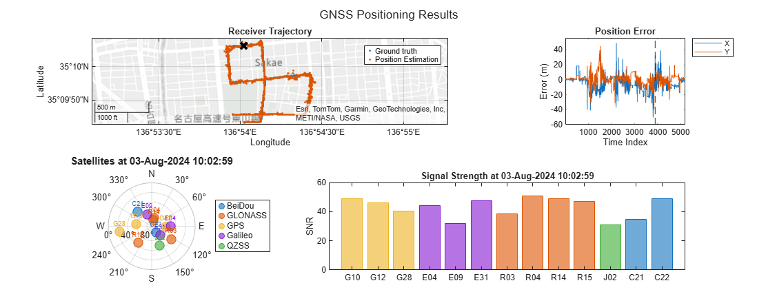
Multi-Constellation GNSS Positioning Using RINEX Files
Estimate GNSS receiver position using RINEX data from multiple satellite systems for improved accuracy and reliability.

Detect Multipath GPS Reading Errors Using Residual Filtering in Inertial Sensor Fusion
Use the residualgps object function and residual filtering to detect when new sensor measurements may not be consistent with the current filter state.

Simulate GNSS Multipath Effects in Urban Canyon Environment
Simulate GNSS multipath for a car with a GPS receiver driving in an urban canyon-like environment and visualize satellite visibility.

Simulate GNSS Multipath Effects on UAV Flying in Urban Environment
Simulate Global Navigation Satellite System (GNSS) receiver noises due to obstructions in a UAV Scenario.

Ground Vehicle Pose Estimation for Tightly Coupled IMU and GNSS
Estimate the position and orientation of a ground vehicle by building a tightly coupled extended Kalman filter and using it to fuse sensor measurements. A tightly coupled filter fuses inertial measurement unit (IMU) readings with raw global navigation satellite system (GNSS) readings. In contrast, a loosely coupled filter fuses IMU readings with filtered GNSS receiver readings.

GPS Legacy Navigation Receiver Positioning Using C/A-Code
Estimate the global positioning system (GPS) receiver position using a multi-satellite GPS baseband waveform. You use the receiver independent exchange format (RINEX) and an almanac file to model the GPS constellation and generate a multi-satellite baseband waveform. Simulate the satellite scenario to get relative positions of satellites with respect to the modeled receiver. For this satellite scenario, model the Doppler shift, delay, and received signal power. Based on these calculations, impair the generated baseband signal with Doppler shift, delay, and noise. This example shows how to estimate the simulated receiver position from this impaired GPS baseband signal.