직육면체 시나리오 시뮬레이션
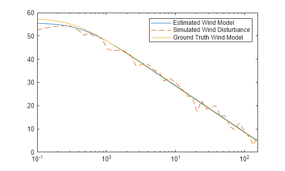
uavScenario 객체를 사용하여 저충실도 UAV 시나리오를 만들고 시뮬레이션합니다. 시뮬레이션된 GPS 센서 측정값, INS 센서 측정값, 라이다 센서 측정값을 생성합니다. 정상풍(steady wind), 돌풍(gust wind), 난기류(turbulence wind) 모델을 사용하여 UAV에 대한 바람의 영향을 시뮬레이션합니다.
다른 방법으로, UAV Toolbox는 Unreal Engine® 시뮬레이션 환경도 제공하며, 이 환경을 사용해 보다 현실적인 그래픽으로 시나리오를 시각화하고 고충실도 센서 데이터를 생성할 수 있습니다. 자세한 내용은 Unreal Engine 시나리오 시뮬레이션 항목을 참조하십시오.
앱
| UAV 시나리오 디자이너 | Design UAV scenarios with terrain, platforms, and sensors (R2022a 이후) |
객체
함수
createCustomSensorTemplate | Create sample implementation for UAV custom sensor interface |
블록
도움말 항목
- Coordinate Systems in UAV Toolbox
Summary of coordinate systems used in UAV Toolbox.
- Simulate IMU Sensor Mounted on UAV
Create a sensor adaptor for an
imuSensorfrom Navigation Toolbox™, and gather readings for a simulated UAV flight - Simulate Radar Sensor Mounted on UAV
The radar sensor enables a UAV to detect other vehicles in the airspace, which enables the UAV to predict other vehicle motion and make decisions to ensure clearance from other vehicles.
추천 예제

UAV 시나리오 튜토리얼
일련의 건물 사이에서 UAV(무인 항공기)의 비행을 시뮬레이션하는 시나리오를 생성합니다. 이 예제에서는 개루프 시뮬레이션에서 UAV 자세를 업데이트하는 방법을 보여줍니다. UAV 시나리오를 사용하여 UAV 비행을 시각화하고 시뮬레이션된 포인트 클라우드 센서 측정값을 생성합니다.

Design Obstacle Avoidance Package Delivery Scenario Using UAV Scenario Designer
Rapidly design and customize a UAV scenario to validate an obstacle avoidance algorithm.

Automate Testing for UAV Package Delivery Example
Edit requirements, link requirements to their implementation in a model, and verify their functionality in the context of a UAV application. The components of the model and requirements include guidance and control of a UAV implemented by the UAV 택배 배송 example.

Lidar and Radar Fusion in Urban Air Mobility Scenario
Track various unmanned aerial vehicles in an urban environment.

Simulate GNSS Multipath Effects on UAV Flying in Urban Environment
Simulate GNSS Multipath for a UAV with a GPS receiver flying in an urban-canyon like environment and visualize satellite visibility.

Simulate UAV Waypoint Following with Different Wind Conditions
Create a UAV scenario with different wind conditions, and use it in Simulink® to simulate a fixed-wing UAV following waypoints.
Simulate Wind Turbulence Using CETI Model
Simulate a wind turbulence effect on slow-flying or hovering UAV by using the Control Equivalent Turbulence Input (CETI) model.