이 번역 페이지는 최신 내용을 담고 있지 않습니다. 최신 내용을 영문으로 보려면 여기를 클릭하십시오.
분할
R2026a의미론적 분할은 3차원 포인트 클라우드 점들의 유사한 특성을 사용하여 이 점들을 군집화하고, 각 점을 car, building, ground 또는 vegetation과 같은 클래스 레이블과 연결합니다.
모서리, 이웃 점 속성, 기하학적 모양(예: 직육면체, 평면, 원통)을 기반으로 포인트 클라우드를 분할할 수 있습니다. 분할 과정에 대한 자세한 내용은 Terrain Classification for Aerial Lidar Data 예제를 참조하십시오.
Lidar Toolbox™ 함수는 딥러닝을 사용하는 의미론적 분할도 지원합니다. 포함되어 있는 사전 훈련된 RandLA-Net, SAM(Segment Anything Model), PointSeg, SqueezeSegV2, PointNet++ CNN(컨벌루션 신경망)을 사용하거나 사용자 지정 분할 모델을 개발할 수 있습니다. RandLA-Net 신경망을 사용하는 분할 과정의 예제는 Aerial Lidar Semantic Segmentation Using RandLANet Deep Learning 항목을 참조하십시오.
함수
도움말 항목
- Deep Learning with Point Clouds
Learn point cloud processing using deep learning.
- Semantic Segmentation in Point Clouds Using Deep Learning
Assign class labels to each point inside a point cloud using deep learning.
- PointNet++ 시작하기
PointNet++ 신경망을 정의하고 이를 사용하여 의미론적 분할을 수행합니다.
- Get Started with RandLA-Net
Define a RandLA-Net network and use it to perform semantic segmentation of large-scale point clouds.
- Datastores for Deep Learning (Deep Learning Toolbox)
Learn how to use datastores in deep learning applications.
- 딥러닝 계층 목록 (Deep Learning Toolbox)
MATLAB®에서 제공하는 딥러닝 계층에 대해 알아봅니다.
- Generate RoadRunner Scene Using Aerial Hyperspectral and Lidar Data (Automated Driving Toolbox)
Generate RoadRunner scene from aerial hyperspectral and lidar data.
추천 예제
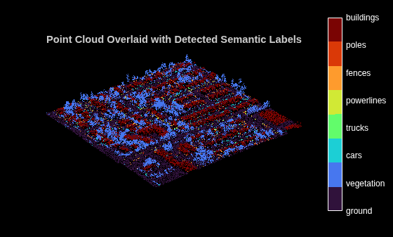
Aerial Lidar Semantic Segmentation Using RandLANet Deep Learning
Train a RandLANet deep learning network to perform semantic segmentation on aerial lidar data.
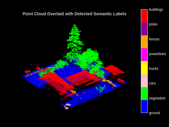
PointNet++ 딥러닝을 사용한 항공 라이다의 의미론적 분할
이 예제에서는 항공 라이다 데이터에 대해 의미론적 분할을 수행하도록 PointNet++ 딥러닝 신경망을 훈련시키는 방법을 보여줍니다.
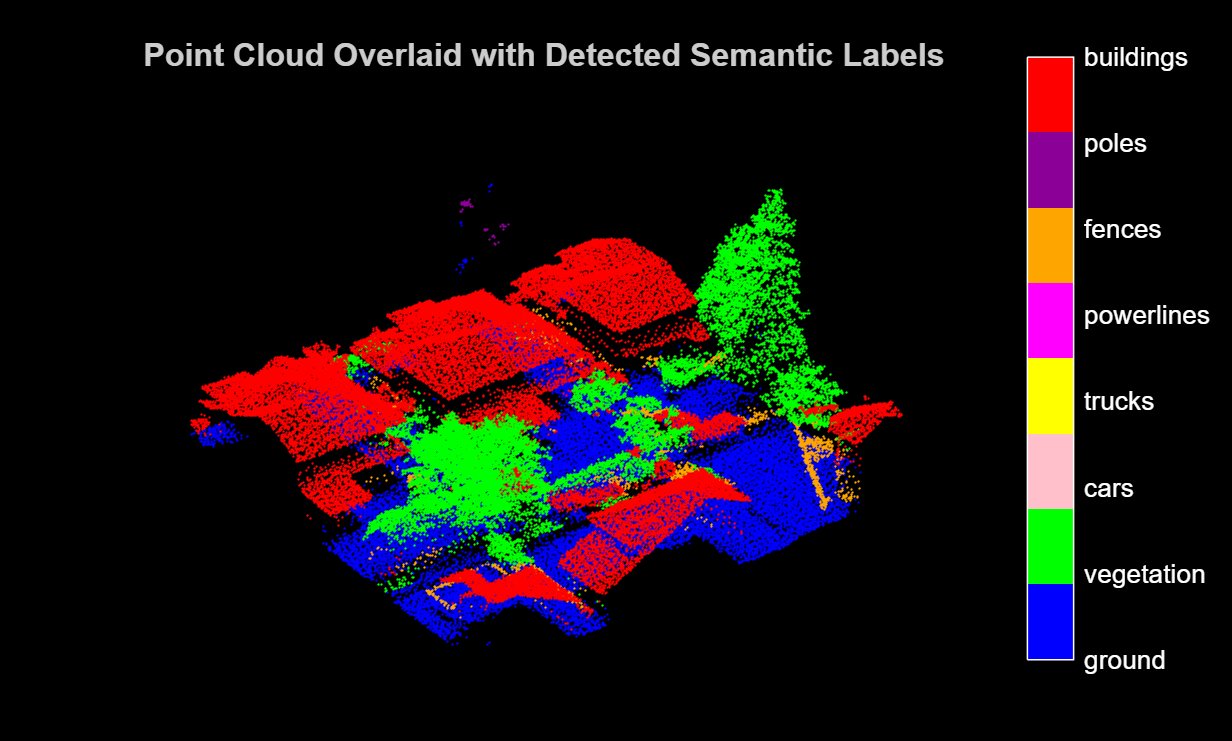
Code Generation for Aerial Lidar Semantic Segmentation Using PointNet++ Deep Learning
Generate CUDA® MEX code for a PointNet++ network for lidar semantic segmentation.
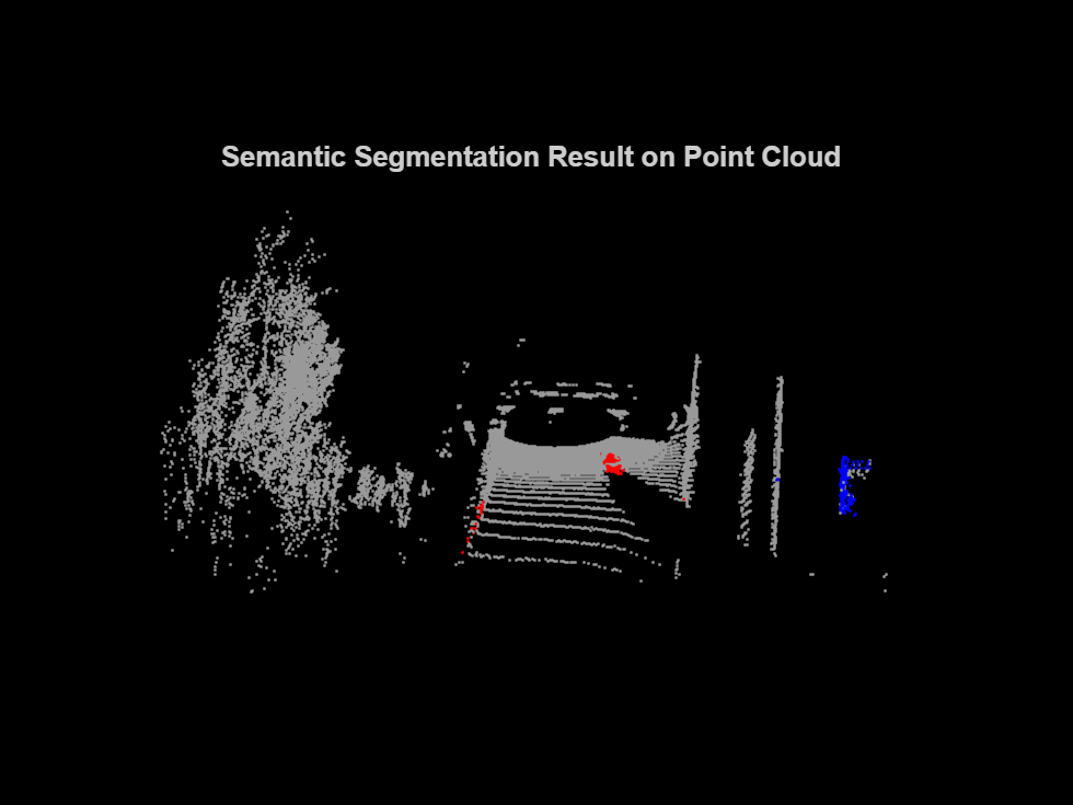
Lidar Point Cloud Semantic Segmentation Using PointSeg Deep Learning Network
Train a PointSeg semantic segmentation network on 3-D organized lidar point cloud data.
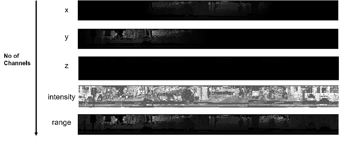
Lidar Point Cloud Semantic Segmentation Using SqueezeSegV2 Deep Learning Network
Train a SqueezeSegV2 semantic segmentation network on 3-D organized lidar point cloud data.
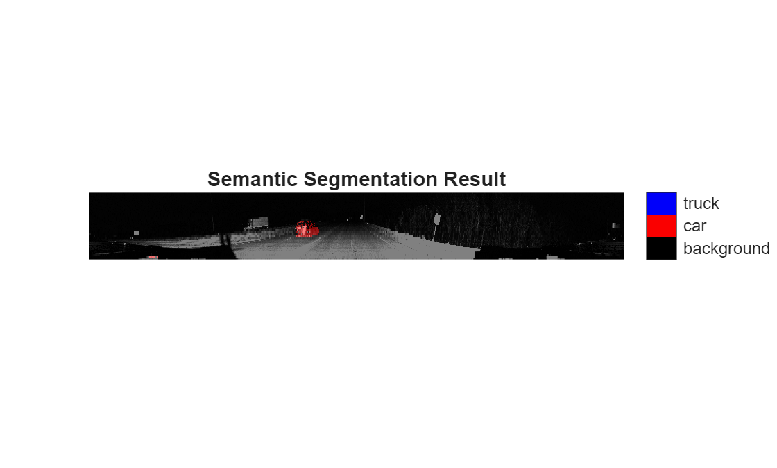
Code Generation for Lidar Point Cloud Segmentation Network
Generate CUDA® MEX code for a deep learning network for lidar semantic segmentation. This example uses a pretrained SqueezeSegV2 [1] network that can segment organized lidar point clouds belonging to three classes (background, car, and truck). For information on the training procedure for the network, see Lidar Point Cloud Semantic Segmentation Using SqueezeSegV2 Deep Learning Network. The generated MEX code takes a point cloud as input and performs prediction on the point cloud by using the DAGNetwork object for the SqueezeSegV2 network.
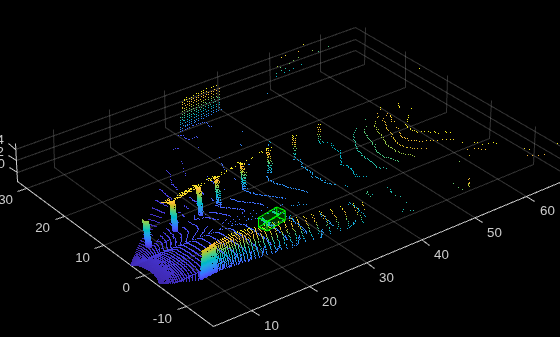
Data Augmentations for Lidar Object Detection Using Deep Learning
Perform typical data augmentation techniques for 3-D object detection workflows with lidar data.
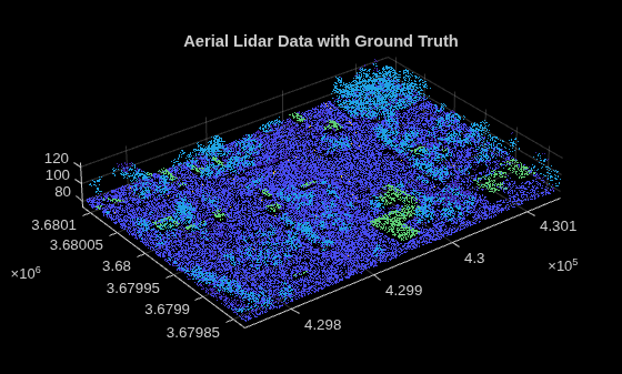
Terrain Classification for Aerial Lidar Data
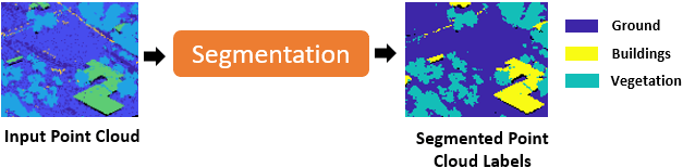
Segment and classify terrain in aerial lidar data as ground, building, and vegetation. The example uses a LAZ file captured by an airborne lidar system as input. First, classify the point cloud data in the LAZ file into ground and non-ground points. Then, further classify non-ground points into building and vegetation points based on normals and curvature features. This figure provides an overview of the process.
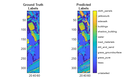
Classify Land Cover Using Hyperspectral and Lidar Data
Classify land cover using a fusion of hyperspectral and lidar data.
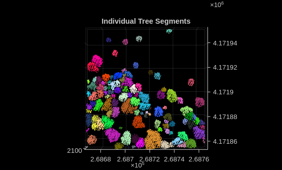
Extract Individual Tree Attributes and Forest Metrics from Aerial Lidar Data
Extract individual tree attributes and forest metrics from aerial lidar data.

