이 제출물을 팔로우합니다
- 팔로우하는 게시물 피드에서 업데이트를 확인할 수 있습니다
- 정보 수신 기본 설정에 따라 이메일을 받을 수 있습니다
Develop a map of an environment and localize the pose of a robot or a self-driving car for autonomous navigation using Robotics System Toolbox™.
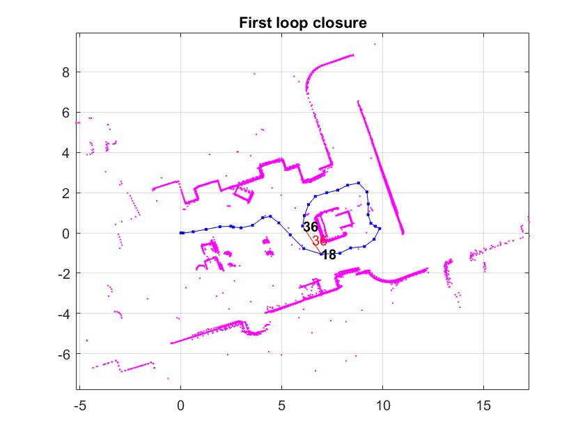
The robot needs to be driven manually when it obtains the LiDAR scans of the environment. On running this code, you can obtain a map of the environment and the pose of the robot relative to the map. This could be further used with commands like buildMap to generate an occupancy grid and perform path planning for autonomous navigation.
Watch the overview video for this functionality here:
https://www.mathworks.com/videos/implement-simultaneous-localization-and-mapping-slam-with-matlab-1520292583530.html
인용 양식
Mihir Acharya (2026). Implement Simultaneous Localization and Mapping (SLAM) with (https://kr.mathworks.com/matlabcentral/fileexchange/66284-implement-simultaneous-localization-and-mapping-slam-with), MATLAB Central File Exchange. 검색 날짜: .
