이 제출물을 팔로우합니다
- 팔로우하는 게시물 피드에서 업데이트를 확인할 수 있습니다
- 정보 수신 기본 설정에 따라 이메일을 받을 수 있습니다
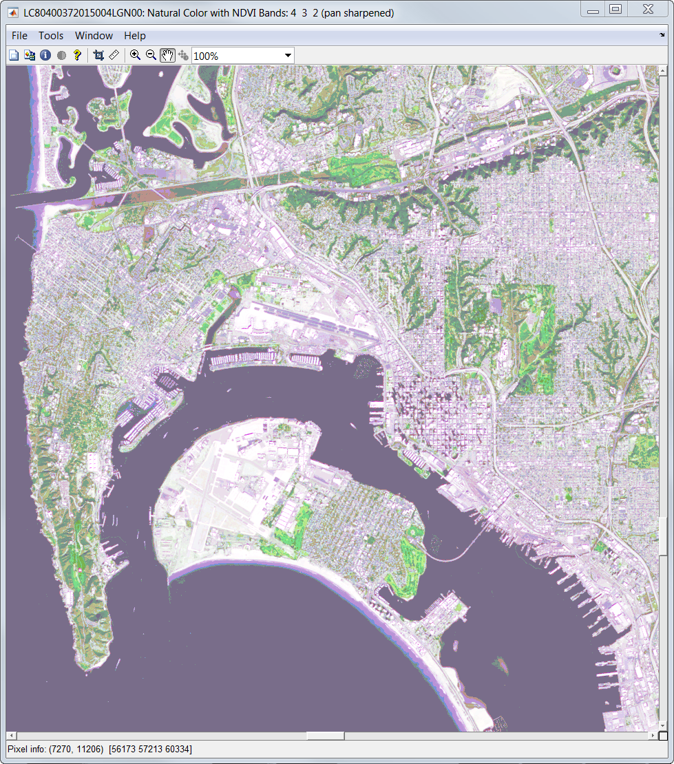
The Landsat8 Data Explorer app allows you to explore USGS Landsat8 data hosted by Amazon Web Services. In particular, it allows you to perform the following tasks:
<ul><li> Read scene list from AWS</li></ul>
<ul><li> Refine list by selecting geographic extent, time extent, or cloud cover extent</li></ul>
<ul><li>View Landsat8 scene locations on an interactive web map</li></ul>
<ul><li>Display scene boundary</li></ul>
<ul><li>Show and download scene metadata</li></ul>
<ul><li>Show and download Landsat8 bands</li></ul>
<ul><li>Read and show common Landsat8 band combinations</li></ul>
<ul><li>Pansharpen common band combinations with panchromatic band</li></ul>
<ul><li>Calculate and show NDVI image</li></ul>
<ul><li>Enhance the bands for viewing</li></ul>
<ul><li>Show bands on a map axes</li></ul>
<ul><li>Link map axes to web map</li></ul>
<ul><li>Save image to local disk</li></ul>
<ul><li>Save image to S3 bucket</li></ul>
인용 양식
Kelly Luetkemeyer (2026). Landsat8 Data Explorer (https://kr.mathworks.com/matlabcentral/fileexchange/49907-landsat8-data-explorer), MATLAB Central File Exchange. 검색 날짜: .
| 버전 | 퍼블리시됨 | 릴리스 정보 | Action |
|---|---|---|---|
| 2.0.0.0 | Fixed the readtable issue in R2016b that was preventing the scene list from being read.
|
||
| 1.5.0.0 | Updated description |
||
| 1.1.0.0 | Added documentation for methods, fixed a few minor bugs |
