위치추정
온보드 IMU, GPS, 카메라를 사용하여 플랫폼의 위치와 방향 추정하기
이 예제에서는 IMU, GPS, 카메라 데이터를 사용하여 플랫폼의 위치를 추정하기 위해 센서 융합 및 필터링 기법을 적용합니다.
추천 예제
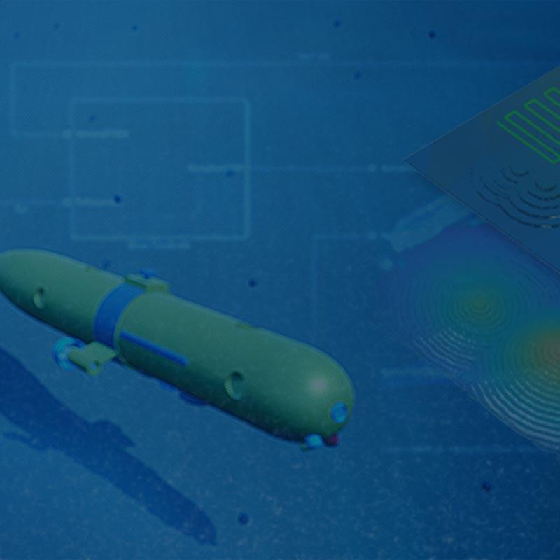
Autonomous Underwater Vehicle Pose Estimation Using Inertial Sensors and Doppler Velocity Log
Fuse GPS, doppler velocity log sensor, and inertial measurement unit measurements to estimate the pose of an autonomous underwater vehicle.

Gesture Recognition Using Inertial Measurement Units
Recognize gestures based on a handheld inertial measurement unit.

관성 항법을 위한 IMU 및 GPS 융합
이 예제는 UAV(무인 항공기) 또는 쿼드콥터에 적합한 IMU + GPS 융합 알고리즘을 작성하는 방법을 보여줍니다.

지상 이동체의 위치와 방향 추정하기
이 예제는 IMU(관성 측정 장치)와 GPS(위성 측위 시스템) 수신기에서 제공되는 데이터를 융합하여 지상 이동체의 위치와 방향을 추정하는 방법을 보여줍니다.

Visual-Inertial Odometry Using Synthetic Data
Estimate the pose (position and orientation) of a ground vehicle using an inertial measurement unit (IMU) and a monocular camera.